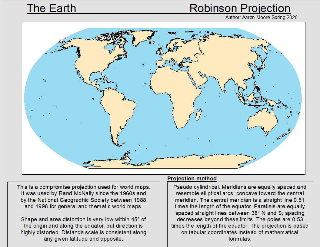
These maps
show 3 different projections. A projection is how you display 3-D geographic
data about the Earth on a 2-D, flat surface. It is impossible to preserve size,
area, distance, and direction when doing this, especially the larger amount of the
Earth you want to represent at once.
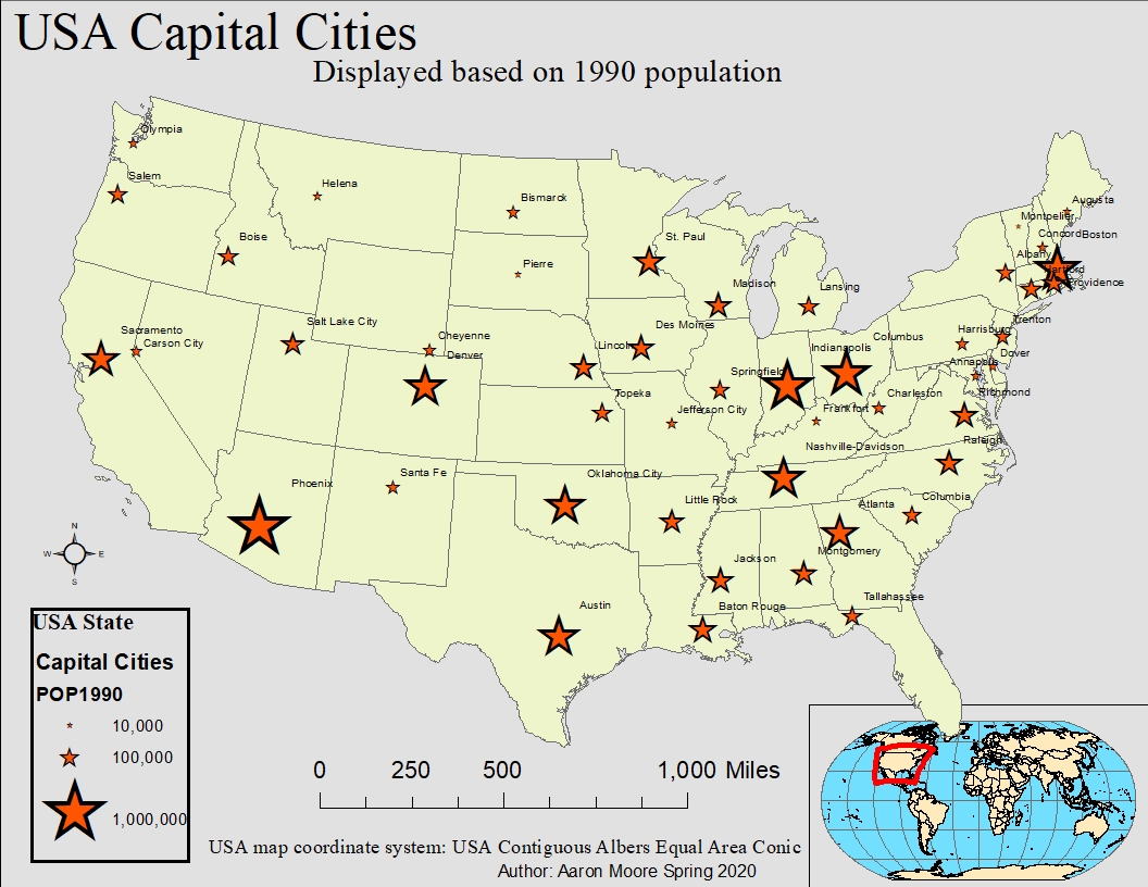
This first map
represents a view of the earth we are all familiar with. It actually has very
limited accuracy.
The
projection used for this map is a conic projection with 2 standard parallels.
It is used for East-West extent, and distortion is minimized between the
parallels.
This
iteration of the Albers Equal Area Projection uses parallels of 29⁰50’ and 45⁰50’ and
has a maximum distortion of 1.25% for the continuous United States.
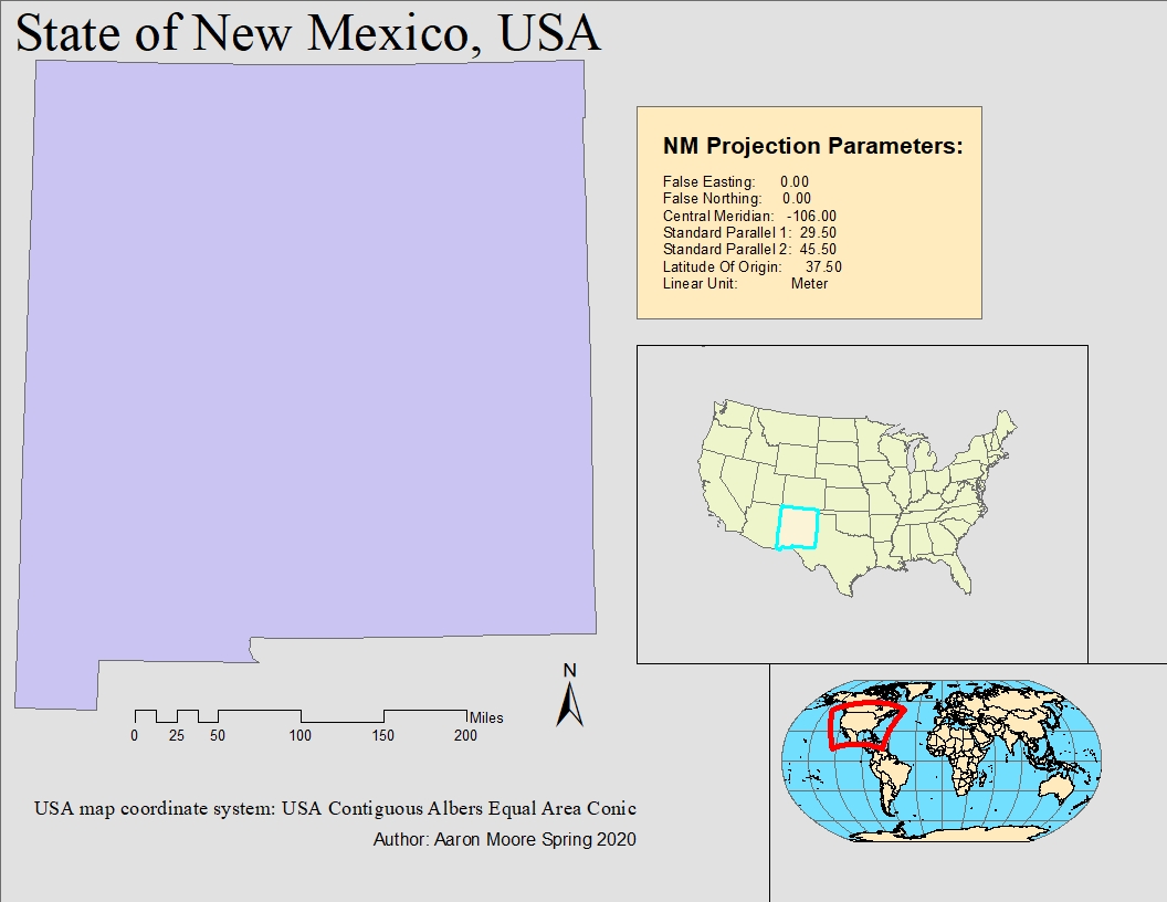
For this State
of New Mexico map, the Albers Equal Area Conic was used once more, but the
central meridian was changed to -106 so it would be
correctly
oriented North-wise.