Homework 1
Exercise 3a.
Displaying map data
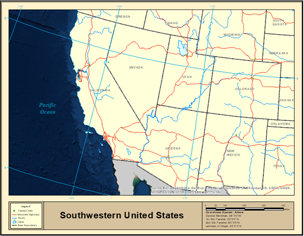
I began with a standard map of the Southwest US.
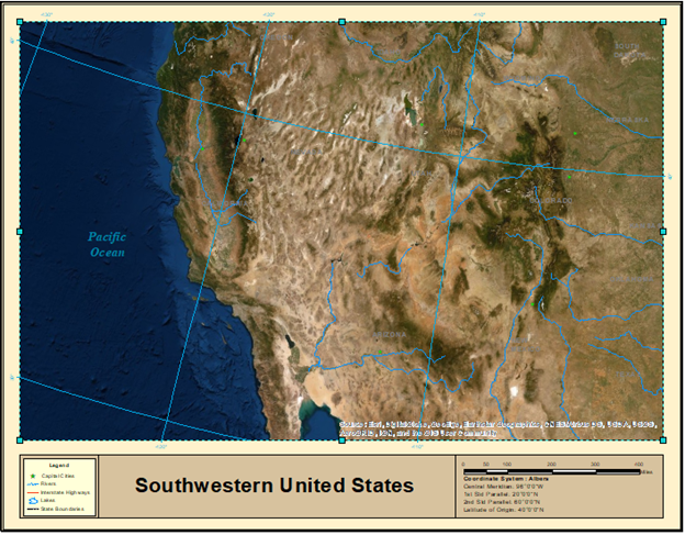
I added a basemap of world imagery and moved this layer to the top of the list, making the map look more like a satellite image than an atlas. Next, I dragged the state capitals and rivers to be above the world imagery, showing where state capitals are in relation to major rivers in their state.
Exercise 3b.
Navigating a map
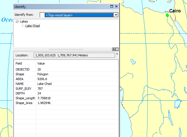
In this exercise, I used the identifier tool. With this tool, I can simply click on any area or feature of the map, and the identifier box pops up to describe the name and/or location of whatever I’m clicking on.
![]()
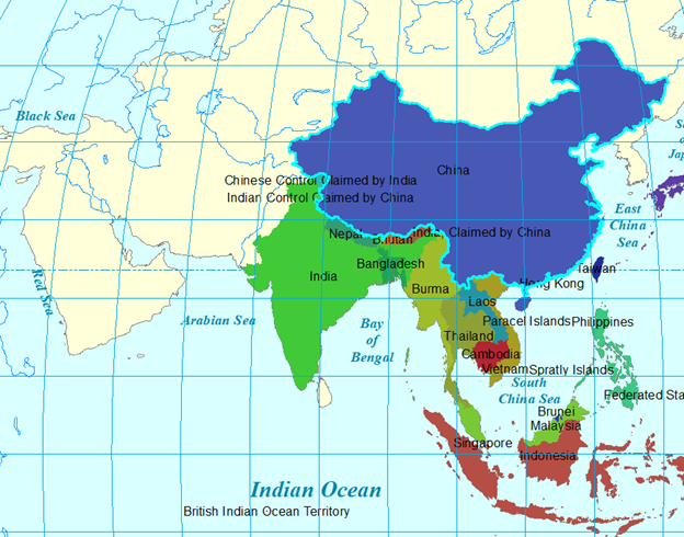
Exercise 3c. Using
basic tools
In this exercise, I took a world map a map of Asia and added property boundaries for Southeast Asia. I then added labels.