Identifying Potential Habitat for
Northern Long Eared Bats
Future Work
While the NLCD provides specific land cover information, it would
be interesting to use remote sensing data to specifically
identify types of trees/riparian vegetation. Additionally, it would be
useful to apply the Utility Network tool in ArcGIS to help identify the most
likely corridors bats are using for migration. This could help identify key
watersheds for conservation. Biologists are still working to understand the
importance of habitat connectivity; further spatial analysis would help
prioritize areas based on habitat fragmentation.
So much of conservation relates to political and economic feasibility.
A natural next step for this project would be a land ownership and property
parcel analysis. Overlaying this information could inform managers on who to
contact, if the land is privately or publicly owned,
and the overall feasibility of an acquisition or conservation project.
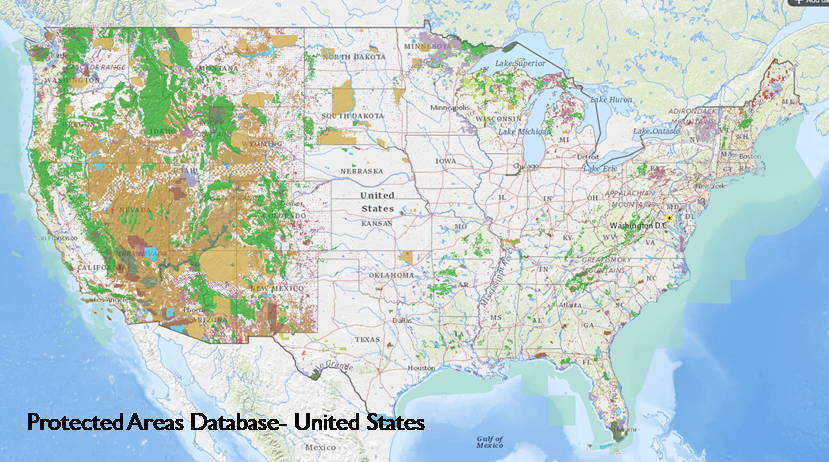
The Protected Areas Database (seen below and linked here) provides extensive information
for all protected parcels of land in the United States. I hope to utilize this
information and more in the future to improve the analysis.