Homework #3:
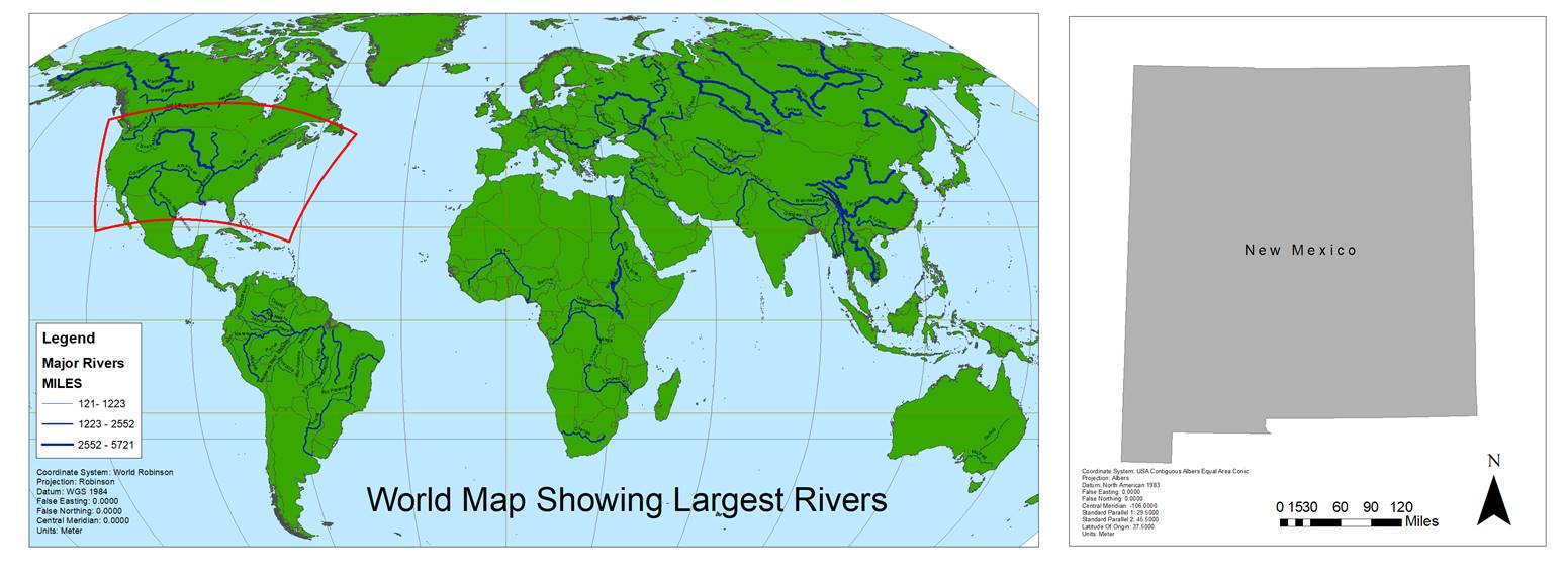
This series of maps shows the world, the United States and New
Mexico in various projections. The world map, projected in Robinson highlights
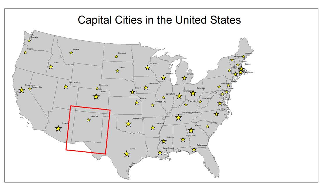
the largest rivers across the globe. The map of the United States shows the
capital city of each state. The size of the stars represents the 1990
population of that city. This map is projected in Albers Equal Area. The New
Mexico Map is shown with a corrected Albers projection, representing a truer
north for the state.