Matthew Gautreaux
Figure 1. Showing how layer display can be toggled off
and on, and moved up or down in the table of contents to be better seen.
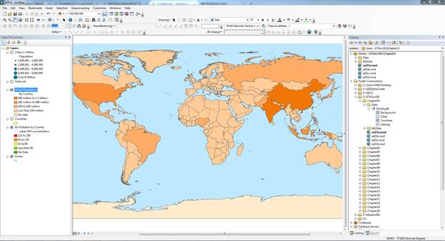
Figure 2. Using the “find” tool to locate certain named
features displayed on the map.
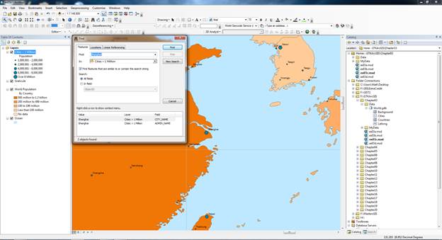
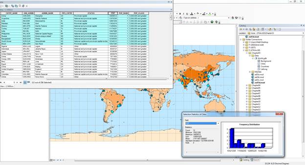
Figure 3. Using the attribute table features to select certain features and then displaying the statistics using ArcGIS.