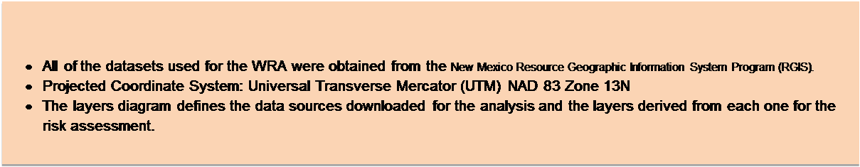
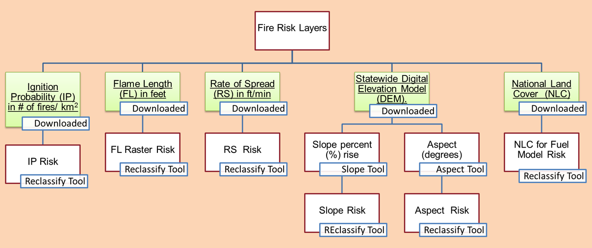
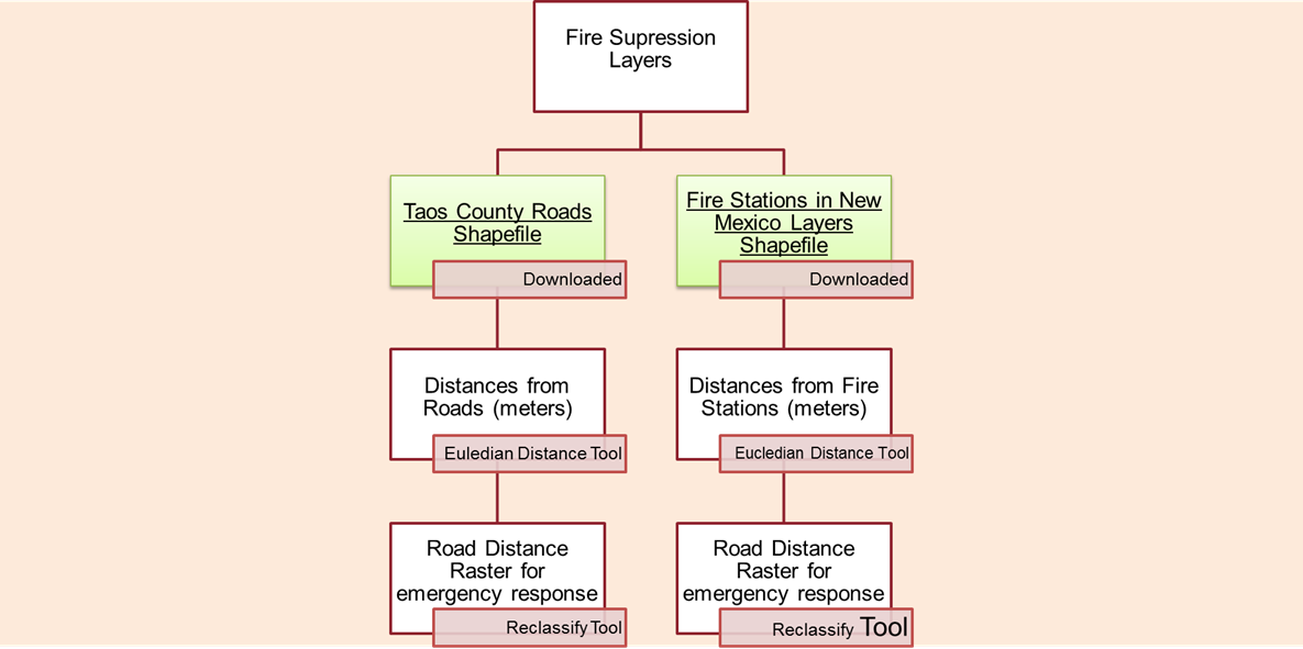
Text Box: Return to project Main Page																	Return to homepageData Sources

Text Box: Description

•	All of the datasets used for the WRA were obtained from the New Mexico Resource Geographic Information System Program (RGIS).
•	Projected Coordinate System: Universal Transverse Mercator (UTM) NAD 83 Zone 13N
•	The layers diagram defines the data sources downloaded for the analysis and the layers derived from each one for the risk assessment. 


Text Box: Layers Diagrams

Return to project Main Page                                                                                                       Back to top                                                                                                                         Return to homepage