The
Effects of Precipitation on NDVI Values in the Caballo Watershed during the
Summer Months
|
Area of Interest |
The focus is of
the project is the Caballo Watershed (black border within the tan shaded area)
in southern New Mexico based on the HUC 8 boundaries. (Below)

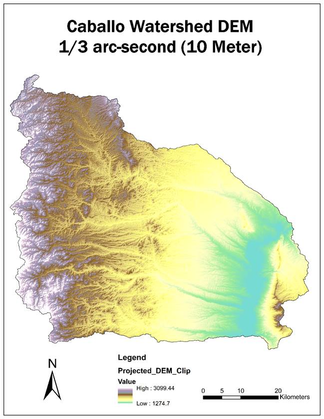
The elevation
within the Caballo watershed ranges from 1,275 meters in the valley (east,
green color) and 3,100 meters in the Black Range (west, white and brown
colors). The lowest elevations in the
valley contain the Rio Grande and the Caballo Reservoir. (Below)
Land use cover
data from 2011 data that there are more forested/wooded areas in the higher
elevations to the west. Further to the
east, there is a mix of desert and semi-desert and Shrub and Herb
vegetation. Furthest to the east in the
study area contains more developed areas with open water and shrub and herb
vegetation. (Below)
