Assignment 1
![]() My homepage
My homepage
![]() Class homepage
Class homepage
![]() GIS in water resource, Class Work
GIS in water resource, Class Work
Chapter 3: Interacting with maps
Exercise 3a: Displyaing Map Data
In this exercise, we learnt to play with layers and using Identify tool. I useed the following steps for interacting with maps.
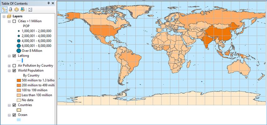
Figure
1: World map with showing world population and table of content of layers on
left side
Exercise
3b: Navigating map
In
this exercise we learn to Zoom, Pan, Identify tools to
navigate the maps.
|
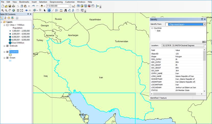
Figure 2: Showing feature-specific
information for Iran using Identify
tool and zoomed In to Iran |
Exercise
3c: Using basic tools
In
this exercise, we learnt to use basic tools like labeling the features, using
View windows & magnifier window, using Bookmarks and also measuring
distance between two points.
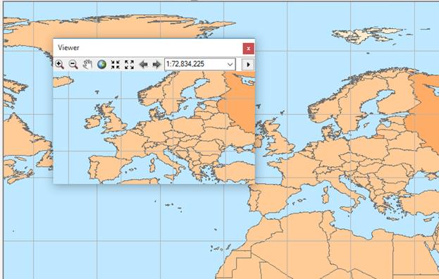
|
Figure 4: Showing map with viewer window |
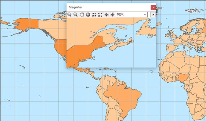
Figure 5: Showing Magnifier window with
1 time magnified map |
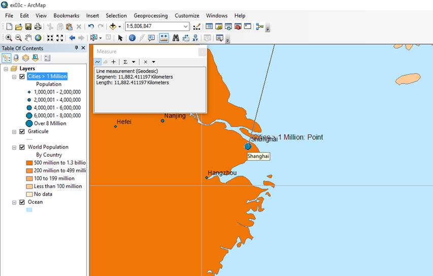
Figure
6: Displaying distance between Paris and New York.
Exercise
3d
Looking
at the features attributes
Information
associated with the features which are recorded is located in attribute table.
We did statistical analysis for few selected data for population from attribute
table
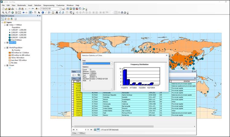
Figure
7: Showing Statistical analysis of population from selected records in
attribute table
![]() My homepage
My homepage
![]() Class homepage
Class homepage
![]() GIS in water resource, Class Work
GIS in water resource, Class Work