

|
|
|
|
|
|
|
|||
Step 1) Download data and import into ArcGIS using the 'Import from Interchange File' in ArcCatalog.
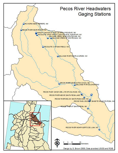
Step 2) Add data to new map. Choose pleasing symbology.
Step 3) Download stream gage data from USGS website.
Step 4) Use Excel to format data for import in to ArcMap.
Step 5) With the Tools > Add XY Data, locations of stream gages were added to the map. Proper coordinate system was used when importing. When projecting data, the output file was projected to Albers.
Step 6) Symbology was modified and labels were added to the stream gage layer.
Step 7) Map layout assembled and exported.