

|
|
|
|
|
|
|
|||
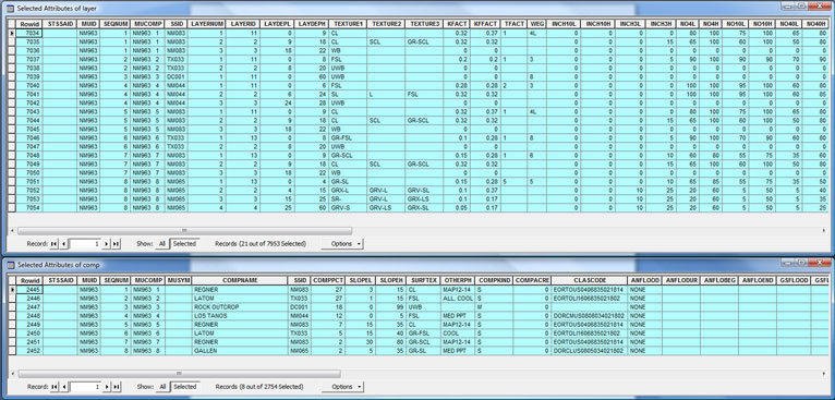
Part 1: Table Joins and Relates
NM963 soil: REGNIER-LATOM-ROCK OUTCROP
5 Components and their percents: Gallen 2%, Latom 32%, Los Tanos 12%, Regnier 36%, Rock Outcrop 18%
Regnier makes up the majority of the land area of the region and has a slope range from 3% to 80%. The average slope is 30%.
FSL is the dominant soil texture.
Soil group percentages: A_PCT 0%, B_PCT 2%, C_PCT 12%, D_PCT 86%
Yes, Denudation and transport of the source would likely result in this soil distribution.
Related Tables:
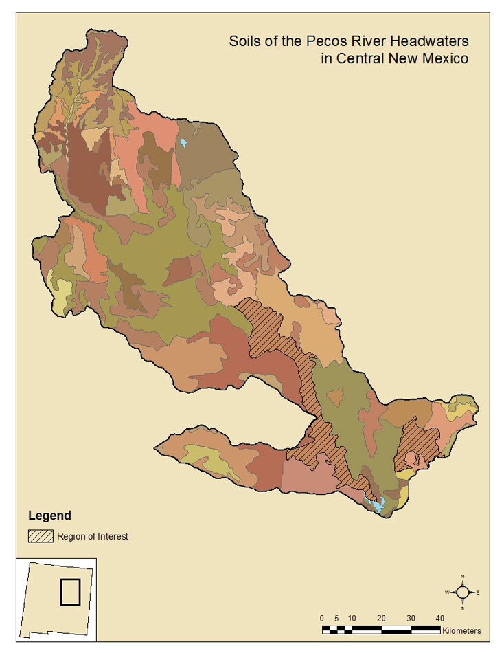
Part 2: Spatial Averaging Soil Properties:
UID |
Layers |
Depth |
Average depth Layer |
HOH Holding Capacity each Comp |
Ave HOH Holding Capacity |
1 |
3 |
22 |
5.94 |
3.06 |
0.83 |
2 |
2 |
20 |
5.40 |
1.00 |
0.27 |
3 |
1 |
60 |
10.80 |
0.00 |
0.00 |
4 |
3 |
28 |
3.36 |
3.30 |
0.40 |
5 |
3 |
22 |
1.54 |
3.06 |
0.21 |
6 |
2 |
20 |
1.00 |
1.00 |
0.05 |
7 |
3 |
22 |
0.44 |
2.43 |
0.05 |
8 |
4 |
60 |
1.20 |
3.52 |
0.07 |
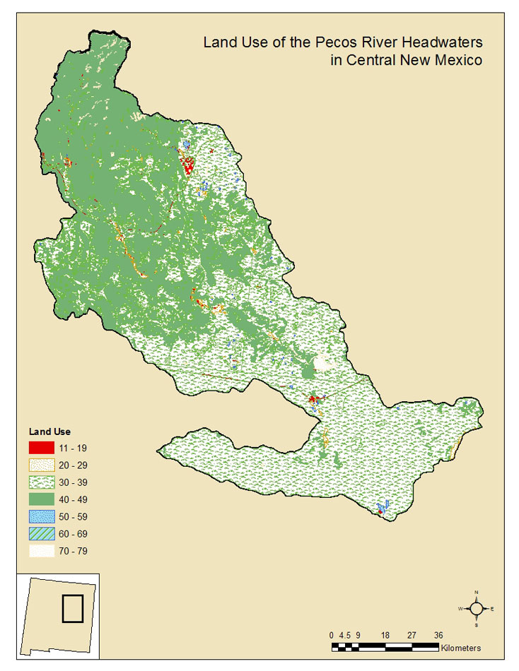
Part 3: Land Use: