GEOG585: Internet
Mapping: Lab 8
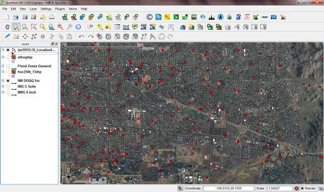
Question 1
Open QGIS on your workstation and enable the WFS plugin (if
not already enabled) Done.
Question 2
Add three WMS layers to a new map project in QGIS, with one coming from
each of the
following WMS services (as represented by their GetCapabilities requests)
1. EDAC’s Imagery WMS Service:
http://edacwms.unm.edu/cgi-bin/mapfiles/edacimagery?SERVICE=WMS&REQUEST=GetCapabilities
2. FEMA’s National Flood Hazard Layer WMS Service:
http://hazards.fema.gov/wmsconnector/wmsconnector/com.esri.wms.Esrimap/NFHL?REQUEST=GetCapabilities&SERVICE=WMS
3. NRCS Soil Data Mart WMS Service:
http://SDMDataAccess.nrcs.usda.gov/Spatial/SDM.wms?SERVICE=WMS&REQUEST=GetCapabilities
In your write-up include the names of the layers you added, which service
they came
from, and screen shots showing each of them in the QGIS client interface.
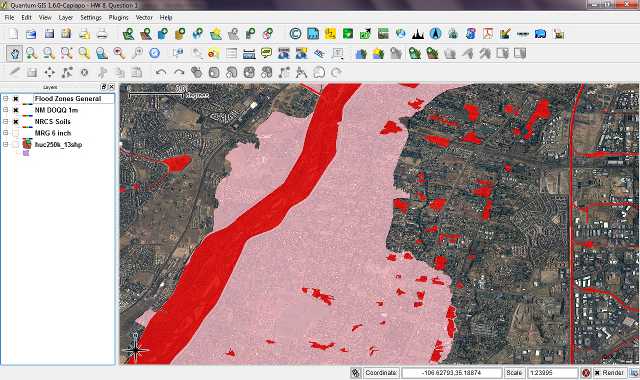
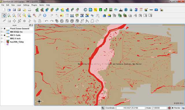
Layer Name: Flood Hazard Zones (General) Service:
http://hazards.fema.gov
Layer Name: doqq05 Service:
http://edacwms.unm.edu
Layer Name: SurveyAreaPolyTransparent Service:
http://SDMDataAccess.nrce.usda.gov
Question 3
Add three WFS layers to the same QGIS project, two based upon data
available from the
RGIS data browser (http://rgis.unm.edu/browsedata), and one based on the
USGS
Gazatteer Framework WFS service
(http://frameworkwfs.usgs.gov/framework/wfs/wfs.cgi?
datastore=GNIS [note the additional required “datastore=GNIS” parameter that
is part of the
base URL for the WFS service]).
In your write-up include the names of the layers you added, and the
GetCapabilities
requests related to those layers. Also include screen shots showing each
layer in
your QGIS project.
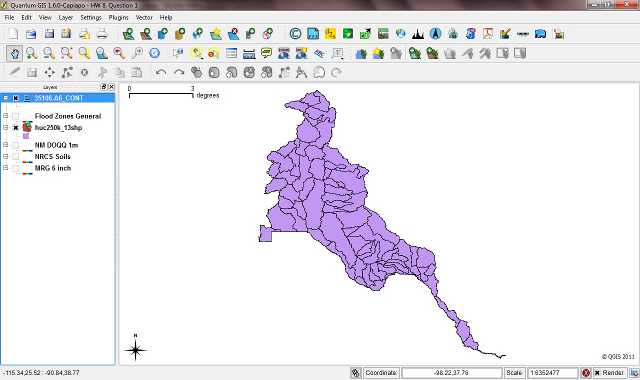
Layer:
huc250k_13shp
Request:
http://gstore.unm.edu/apps/rgis/datasets/58610/services/ogc/wfs?SERVICE=WFS&VERSION=1.0.0&REQUEST=GetCapabilities
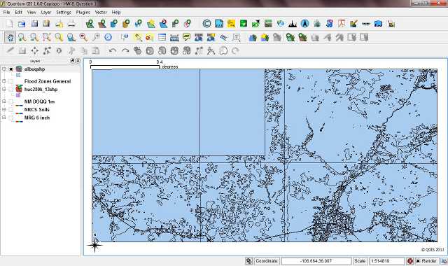
Layer: albuqshp
Request:
http://gstore.unm.edu/apps/rgis/datasets/58487/services/ogc/wfs?SERVICE=WFS&VERSION=1.0.0&REQUEST=GetCapabilities
Layer: iso19112:SI_LocationInstance
Request:
http://frameworkwfs.usgs.gov/framework/wfs/wfs.cgi?datastore=GNIS&SERVICE=WFS&VERSION=1.0.0&REQUEST=GetCapabilities
|