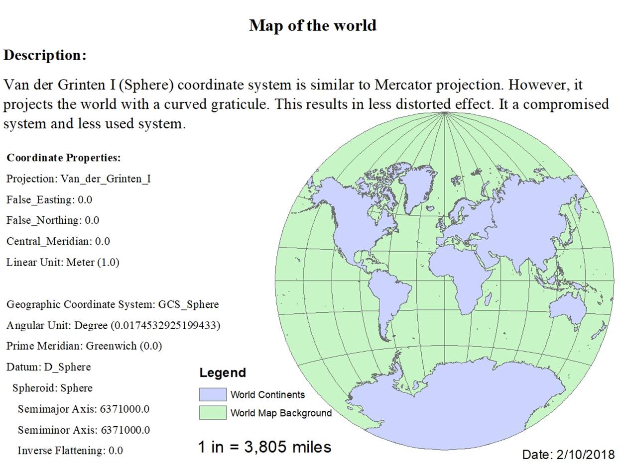
1.
Mapping
the World
2.
Mapping
the United States.
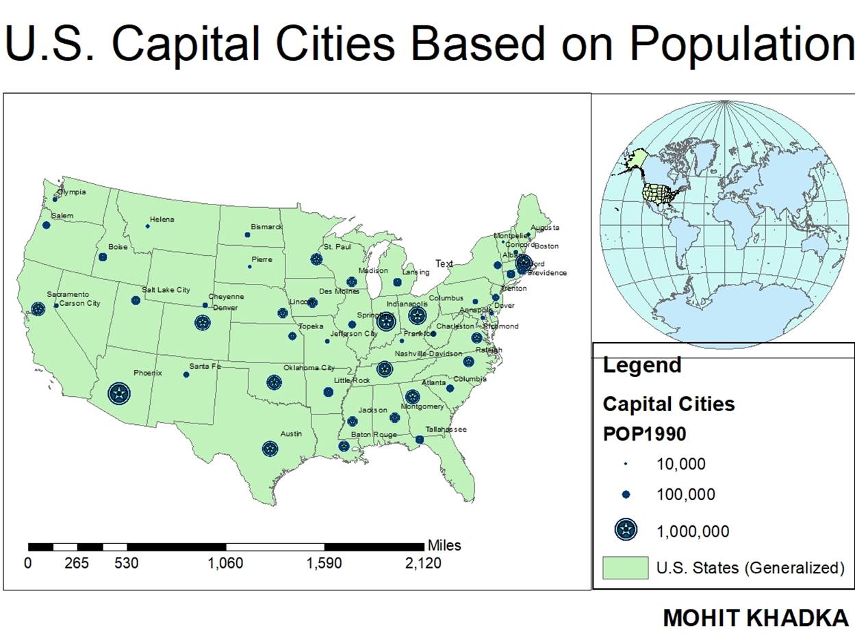
a. Determine
the approximate latitude and longitude of three cities.
|
City |
Latitude |
Longitude |
|
Denver, CO |
105°11’2.036”W |
39°40’42.6”N |
|
Raleigh, NC |
78°39’14.052”W |
35°52’5.409”N |
|
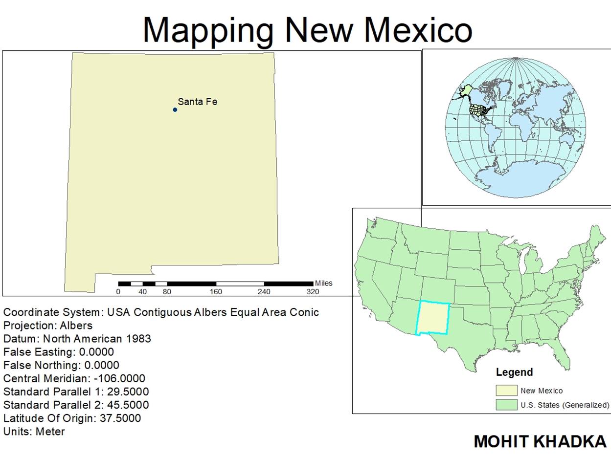
Santa Fe, NM |
105°54’50.724”W |
35°41’17.222”N |
b. What
is the distance between Augusta and Olympia in miles if the view is not
projected?
Answer:
2,530.379879 Miles
c. What
is the distance between Augusta and Olympia in miles if the view is projected
into Albers Equal Area?
Answer:
2,547.810902 Miles
d. In
the Cities attribute table, why do think there are several values with –99 when
looking into the elevation values?
Answer:
This may be because of some error in the data or some missing data. Because, it
is not possible for the cities to be that much below the sea level.
e. What
are the same distances in kilometers?
Answer:
4072.25 km and 4100.30 km
f. Which
capital city is the most populous?
Answer:
Phoenix
g. Which
capital city is the least populous?
Answer:
Montpelier
h. Which
capital city has the highest elevation?
Answer:
Santa Fe.
3.
Mapping
New Mexico.