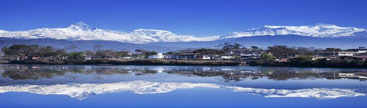
Study of
Nutrients (Nitrogen and Phosphorous) in Phewa Lake
Sediments
Projection
Nepal lies in UTM zone between 44 and 45. Due to greater expansion in
east-west direction of Nepal, Survey Department of Nepal uses Modified UTM
(MUTM) for increasing accuracy in cadastral survey. Because of this reason,
MUTM is used as projection. In this projection, there are 120 zones each of 30
longitude.
The modified UTM has following features:
False
Easting: 500 000
False
northing:0
Central
Meridian= 84 0
Scale
factor= 0.9999
Units:
Meter
The geographic
co-ordinate system or datum used is GCS_Everest_Bangladesh
1937.
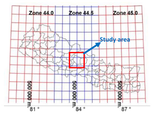
Figure:
Map showing UTM zone for Nepal and study area
![]() My homepage
My homepage
![]() Class homepage
Class homepage
![]() GIS in water resource,
Class Work
GIS in water resource,
Class Work